Back Cerniat ALS Cerniat Catalan Cerniat CEB Cerniat German Cerniat English Cerniat EO Cerniat Spanish Cerniat EU Thèrnya FRP Cerniat Italian
| Cerniat | ||||

| ||||
 Héraldique |
||||
| Administration | ||||
|---|---|---|---|---|
| Pays | ||||
| Canton | ||||
| District | Gruyère | |||
| Commune | Val-de-Charmey | |||
| NPA | 1654 | |||
| No OFS | 2126 | |||
| Démographie | ||||
| Gentilé | Cerniatin | |||
| Population permanente |
361 hab. (avant la fusion) | |||
| Densité | 11 hab./km2 | |||
| Géographie | ||||
| Coordonnées | 46° 37′ 57″ nord, 7° 09′ 25″ est | |||
| Altitude | 1 330 m Min. 879 m Max. 1 749 m |
|||
| Superficie | 33,69 km2 | |||
| Divers | ||||
| Langue | Français | |||
| Localisation | ||||
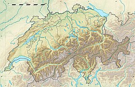
| Géolocalisation sur la carte : Suisse
Géolocalisation sur la carte : Suisse
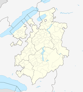
Géolocalisation sur la carte : canton de Fribourg
| ||||
| Liens | ||||
| Site web | www.val-de-charmey.ch | |||
| modifier |
||||
Cerniat est une localité et une ancienne commune suisse du canton de Fribourg, située dans le district de la Gruyère.


