Our website is made possible by displaying online advertisements to our visitors.
Please consider supporting us by disabling your ad blocker.
Erromango
Native name: Nelocopne | |
|---|---|
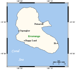
 Map of Erromango Island | |
| Geography | |
| Location | Coral Sea |
| Coordinates | 18°48′50″S 169°07′22″E / 18.81389°S 169.12278°E |
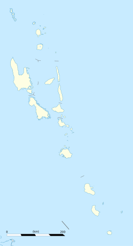
| Archipelago | Vanuatu |
| Area | 891.9 km2 (344.4 sq mi) |
| Length | 48 km (29.8 mi) |
| Width | 30 km (19 mi) |
| Highest elevation | 886 m (2907 ft) |
| Highest point | Mount Santop |
| Administration | |
| Province | Tafea Province |
| Largest settlement | Upogkor |
| Demographics | |
| Population | 2,084 (2009) |
| Pop. density | 2.34/km2 (6.06/sq mi) |
| Languages | Sie, Bislama, English, French, Ura (moribund), formerly Utaha and Sorung |
| Ethnic groups | Ni-Vanuatu |
| Additional information | |
| Time zone |
|
Erromango is the fourth largest island in the Vanuatu archipelago. With a land area of 891.9 square kilometres (344.4 sq mi), it is the largest island in Tafea Province, the southernmost of Vanuatu's six administrative regions.
Previous Page Next Page


