Back Хохшпайер CE Hochspeyer (munisipyo) CEB Hochspeyer German Hochspeyer English Hochspeyer EO Hochspeyer Spanish Hochspeyer EU هوخشپایر FA Hochspeyer Hungarian Hochspeyer Italian
| Hochspeyer | |||

| |||
 Armoiries |
|||
| Administration | |||
|---|---|---|---|
| Pays | |||
| Land | |||
| Arrondissement (Landkreis) |
Kaiserslautern | ||
| Bourgmestre (Ortsbürgermeister) Mandat |
Hans-Norbert Anspach 2014–2019 |
||
| Partis au pouvoir | SPD | ||
| Code postal | 67691 | ||
| Code communal (Gemeindeschlüssel) |
07 3 35 015 | ||
| Indicatif téléphonique | 06305 | ||
| Immatriculation | KL | ||
| Démographie | |||
| Population | 4 738 hab. () | ||
| Densité | 209 hab./km2 | ||
| Géographie | |||
| Coordonnées | 49° 26′ 39″ nord, 7° 53′ 44″ est | ||
| Altitude | 267 m |
||
| Superficie | 2 272 ha = 22,72 km2 | ||
| Localisation | |||
| Géolocalisation sur la carte : Allemagne
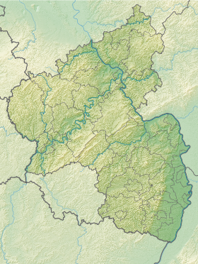
Géolocalisation sur la carte : Rhénanie-Palatinat
| |||
| Liens | |||
| Site web | www.hochspeyer.eu | ||
| modifier |
|||
Hochspeyer est une municipalité de la commune fusionnée d'Enkenbach-Alsenborn, située dans l'arrondissement de Kaiserslautern en Rhénanie-Palatinat.
C'est une commune de 4 568 habitants à approximativement 10 km à l'est de Kaiserslautern, au cœur du Pfälzerwald, la forêt en prolongement des Vosges du Nord.

