Our website is made possible by displaying online advertisements to our visitors.
Please consider supporting us by disabling your ad blocker.
Latacunga
| Latacunga | |||
|---|---|---|---|
| |||
| Koordinaten | 0° 56′ 2″ S, 78° 36′ 52″ W | ||
| Basisdaten | |||
| Staat | Ecuador | ||
| Cotopaxi | |||
| Kanton | Latacunga | ||
| Stadtgründung | 1534 | ||
| Einwohner | 63.842 (2010) | ||
| Stadtinsignien | |||
 | |||
| Detaildaten | |||
| Fläche | 265 km2 | ||
| Bevölkerungsdichte | 241 Ew./km2 | ||
| Höhe | 2760 m | ||
| Stadtgliederung | 5 Parroquias urbanas | ||
| Gewässer | Río Cutuchi | ||
| Vorwahl | (+593) 3 | ||
| Zeitzone | UTC−5 | ||
| Stadtvorsitz | Patricio Sánchez Yánez | ||
| Website | |||
 | |||
 | |||
 | |||
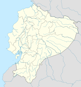
Latacunga (ursprünglicher Name: San Vicente Mártir de la Tacunga y sus corregidores) ist eine Stadt und ein Municipio im Andenhochland von Ecuador. Sie ist Hauptstadt der Provinz Cotopaxi und hatte beim Zensus 2010 63.842 Einwohner. Latacunga liegt 89 km südlich von Quito auf 2760 m Höhe an der Panamericana und ist Sitz des Bistums Latacunga. Einen Teil des Municipios bildet die Parroquia urbana La Matriz, auch als „Latacunga“ bezeichnet.
Previous Page Next Page


