Our website is made possible by displaying online advertisements to our visitors.
Please consider supporting us by disabling your ad blocker.
Le-Plante
| Kommuna | |
| Le-Plante | |
|---|---|
 | |
| 46°01′23″ şm. e. 5°05′20″ ş. u.HGYO | |
| Ölkə | |
| Tarixi və coğrafiyası | |
| Sahəsi |
|
| Mərkəzin hündürlüyü | 267 m[2], 286 m[2] |
| Saat qurşağı | |
| Əhalisi | |
| Əhalisi |
|
| Rəqəmsal identifikatorlar | |
| Poçt indeksi | 01330[4] |
| Digər | |
| leplantay.wordpress.com | |
|
| |
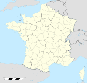
Le-Plante (fr. Monthieux) — Fransada kommuna, Rona-Alplar regionunda yerləşir. Departament — En. Şampan-an-Valrome kantonuna daxildir. Kommunanın dairəsi — Belle.
INSEE kodu — 01097.
- ↑ répertoire géographique des communes. Institut national de l'information géographique et forestière.
- ↑ 1 2 répertoire géographique des communes. Institut national de l'information géographique et forestière, 2015.
- ↑ Populations légales 2022 (fr.). INSEE, 2024.
- ↑ Base officielle des codes postaux. La Poste, 2018.
Previous Page Next Page


