Our website is made possible by displaying online advertisements to our visitors.
Please consider supporting us by disabling your ad blocker.
Nantwich
| Nantwich | ||
|---|---|---|
 | ||
| Staat: | ||
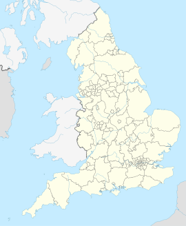
| Koordinaten | 53° 4′ N, 2° 31′ W | |
| OS National Grid | SJ652523 | |
|
| ||
| Traditionelle Grafschaft | Cheshire | |
| Einwohner | 18.734 (Stand: 2021[1]) | |
| Fläche | 5 km² (1,93 mi²) | |
| Bevölkerungsdichte: | 3747 Einw. je km² | |
| Verwaltung | ||
| Post town | Nantwich | |
| Postleitzahlenabschnitt | CW5 | |
| Vorwahl | 01270 | |
| Landesteil | England | |
| Region | North West England | |
| Shire county | Cheshire | |
| Website: https://www.nantwichtowncouncil.gov.uk/about-nantwich/ | ||

Nantwich ist eine knapp 20.000 Einwohner zählende Stadt und Civil parish in der englischen Grafschaft (county) Cheshire.
Previous Page Next Page


