Our website is made possible by displaying online advertisements to our visitors.
Please consider supporting us by disabling your ad blocker.
Ousefleet
| Państwo | |
|---|---|
| Kraj | |
| Region | |
| Hrabstwo ceremonialne | |
| Unitary authority | |
| Nr kierunkowy |
01405 |
| Kod pocztowy |
DN14 |
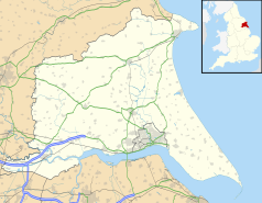
Położenie na mapie East Riding of Yorkshire  | |
Położenie na mapie Wielkiej Brytanii  | |
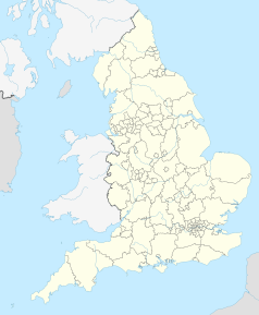
Położenie na mapie Anglii  | |
Ousefleet – osada w Anglii, w hrabstwie East Riding of Yorkshire. Leży 28 km na zachód od miasta Hull i 247 km na północ od Londynu[1].
- ↑ Ousefleet na mapie. getamap.ordnancesurvey.co.uk. [dostęp 2010-11-27]. (ang.).
Previous Page Next Page


