Our website is made possible by displaying online advertisements to our visitors.
Please consider supporting us by disabling your ad blocker.
Pocklington
| Pocklington | ||
|---|---|---|
 | ||
| Staat: | ||
| Koordinaten | 53° 56′ N, 0° 47′ W | |
| OS National Grid | SE802486 | |
|
| ||
| Traditionelle Grafschaft | Yorkshire | |
| Einwohner | 7632 (Stand: 2001) | |
| Verwaltung | ||
| Post town | YORK | |
| Postleitzahlenabschnitt | YO42 | |
| Vorwahl | 01759 | |
| Landesteil | England | |
| Region | Yorkshire and the Humber | |
| Shire county | East Riding of Yorkshire | |
| District | East Riding of Yorkshire | |
| Britisches Parlament | East Yorkshire | |
| Website: http://www.pocklington.gov.uk | ||
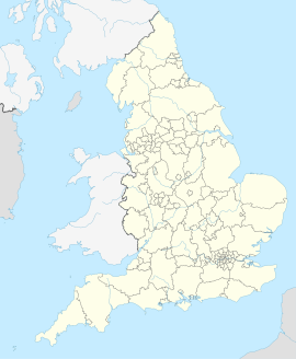
Pocklington ist eine Kleinstadt in der englischen Unitary Authority East Riding of Yorkshire. Sie befindet sich zwischen Kingston upon Hull und York in den Yorkshire Wolds. Pocklington besaß bei der Volkszählung im Jahre 2001 7.632 Einwohner.[1]
- ↑ 2001 Census: Key Statistics: Parish Headcounts: Area: Pocklington CP (Parish). In: Neighbourhood Statistics. Office for National Statistics, abgerufen am 19. Mai 2008. Vorlage:Cite web: Der Parameter language wurde bei wahrscheinlich fremdsprachiger Quelle nicht angegeben.
Previous Page Next Page


