Back زيجنباخ ARZ Ziegenbach (suba sa Alemanya, Bavaria) CEB Цегенбах CV Zeegenbach German Цегенбах Russian 采根巴赫河 Chinese
| Ziegenbach | |
|---|---|
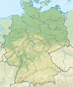
| Location | |
| Country | Germany |
| State | Bavaria |
| District | Bamberg |
| Reference no. | DE: 242952 |
| Physical characteristics | |
| Source | |
| • location | east of the village Zeegendorf, in the karsts of the Franconian Switzerland |
| • coordinates | 49°52′24″N 11°04′38″E / 49.873211°N 11.077116°E |
| Mouth | |
• location | north of Pettstadt in the Regnitz |
• coordinates | 49°50′30″N 10°56′21″E / 49.8416°N 10.9391°E |
| Length | 13 km (8.1 mi) [1] |
| Basin features | |
| Progression | Regnitz→ Main→ Rhine→ North Sea |
The Zeegenbach is a stream in Franconia, Germany, in the Franconian Jura region, and is about 13 kilometres (8 mi) long. The Zeegenbach lies about 15 kilometres (9 mi) south-west from Bamberg by the town of Strullendorf.
- ^ Complete table of the Bavarian Waterbody Register by the Bavarian State Office for the Environment (xls, 10.3 MB)
