Our website is made possible by displaying online advertisements to our visitors.
Please consider supporting us by disabling your ad blocker.
Blairgowrie and Rattray
| Blairgowrie and Rattray schottisch-gälisch Blàr Ghobharaidh, Raitear | ||
|---|---|---|
 | ||
| Staat: | ||
| Koordinaten | 56° 36′ N, 3° 20′ W | |
|
| ||
| Traditionelle Grafschaft | Perthshire | |
| Einwohner | 8954 Zensus 2011 | |
| Verwaltung | ||
| Post town | BLAIRGOWRIE | |
| Postleitzahlenabschnitt | PH10 | |
| Vorwahl | 01250 | |
| Landesteil | Scotland | |
| Council area | Perth and Kinross | |
| Britisches Parlament | Perth and North Perthshire | |
| Schottisches Parlament | Perthshire North | |
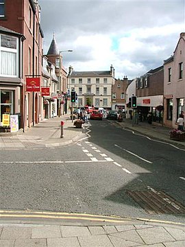
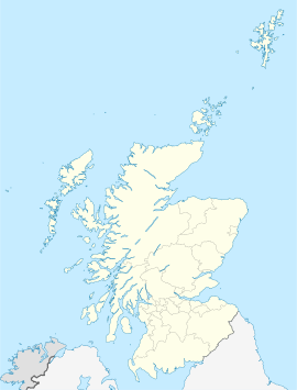
Blairgowrie and Rattray (gälisch: Blàr Ghobharaidh[1] und Raitear[2]), umgangssprachlich kurz Blair genannt, ist ein Zusammenschluss zweier schottischer Kleinstädte in der Council Area Perth and Kinross. Er ist etwa 19 km nordnordöstlich von Perth und etwa 25 km nordwestlich von Dundee gelegen.[3] Im Jahre 2011 verzeichnete Blairgowrie and Rattray 8954 Einwohner.[4] Blairgowrie bedeutet in etwa „Ebene der Wildziegen“.[5]
- ↑ Verzeichnis gälischer Ausdrücke
- ↑ Verzeichnis gälischer Ausdrücke
- ↑ Eintrag im Gazetteer for Scotland
- ↑ Zensus 2011
- ↑ Blairgowrie. In: Francis H. Groome: Ordnance Gazetteer of Scotland: A Survey of Scottish Topography, Statistical, Biographical and Historical. Band 1: (A – Coru). Thomas C. Jack, Grange Publishing Works, Edinburgh u. a. 1882, S. 166–167.
Previous Page Next Page


