Our website is made possible by displaying online advertisements to our visitors.
Please consider supporting us by disabling your ad blocker.
Shoshone Mountains
| Shoshone Mountains
| ||
|---|---|---|
 | ||
| Höchster Gipfel | North Shoshone Peak (3143 m) | |
| Lage | Nevada, Vereinigte Staaten | |
| Koordinaten | 38° 54′ N, 117° 33′ W | |
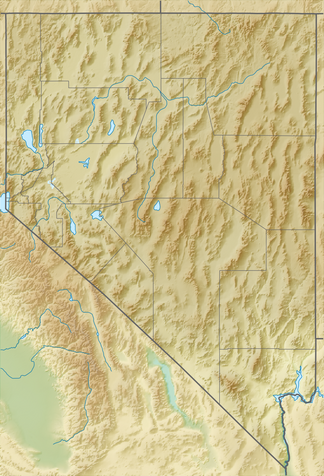
Die Shoshone Mountains sind eine Bergkette im Bundesstaat Nevada in den Vereinigten Staaten. Das Gebirge verläuft in Nord-Süd-Richtung in den Counties Nye und Lander. Die Bergkette hat eine Länge von etwa 106 km und eine Breite von 9,7 km bei einer Fläche von etwa 1000 km².[1][2][3]
Previous Page Next Page


