Our website is made possible by displaying online advertisements to our visitors.
Please consider supporting us by disabling your ad blocker.
Abu al-Fadl, Ramle
Abu al-Fadl
أبو الفضل/السطرية al-Satariyya | |
|---|---|
Village | |
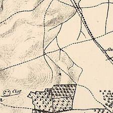
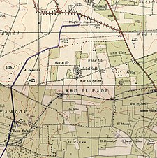
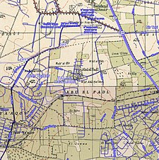
A series of historical maps of the area around Abu al-Fadl, Ramle (click the buttons) | |
Location within Mandatory Palestine | |
| Coordinates: 31°56′37″N 34°50′53″E / 31.94361°N 34.84806°E | |
| Palestine grid | 135/150 |
| Geopolitical entity | Mandatory Palestine |
| Subdistrict | Ramle |
| Date of depopulation | 9 May 1948[3] |
| Area | |
• Total | 2,870 dunams (2.87 km2 or 1.11 sq mi) |
| Population (1945) | |
• Total | 510[1][2] |
| Cause(s) of depopulation | Influence of nearby town's fall |
| Current Localities | Sitria[4][5] Talmey Menashe[5] |
Abu al-Fadl (Arabic: أبو الفضل/السطرية) was a Palestinian village in the Ramle Subdistrict, about 4 km (2.5 mi) northwest of Ramla in, what was until 1948, Mandatory Palestine. The village was also known as al-Satariyya. In 1945/44, the village had a population of 510.
- ^ Government of Palestine, Department of Statistics, 1945, p. 29
- ^ a b Government of Palestine, Department of Statistics. Village Statistics, April, 1945. Quoted in Hadawi, 1970, p. 66
- ^ Morris, 2004, p. xix, village #233. Also gives causes of depopulation.
- ^ Morris, 2004, p. xxi, Settlement #87, established 1949.
- ^ a b Khalidi, 1992, p. 357
Previous Page Next Page


