Our website is made possible by displaying online advertisements to our visitors.
Please consider supporting us by disabling your ad blocker.
Avonhead
Avonhead | |
|---|---|
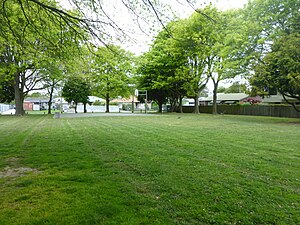
 Staveley Reserve | |
 | |
| Coordinates: 43°30′36″S 172°33′25″E / 43.510°S 172.557°E | |
| Country | New Zealand |
| City | Christchurch |
| Local authority | Christchurch City Council |
| Electoral ward | Waimairi[1] |
| Community board | Waimāero Fendalton-Waimairi-Harewood |
| Area | |
| • Land | 425 ha (1,050 acres) |
| Population (June 2024)[3] | |
• Total | 10,240 |
| Burnside | ||
| Russley |
|
Ilam |
| Sockburn | Upper Riccarton |

Avonhead is a suburb of the New Zealand city of Christchurch. It has two primary schools, a shopping centre and several parks.
- ^ "Wards, Councillors and Community Boards map". Christchurch City Council. Retrieved 23 February 2020.
- ^ Cite error: The named reference
Areawas invoked but never defined (see the help page). - ^ "Aotearoa Data Explorer". Statistics New Zealand. Retrieved 26 October 2024.
Previous Page Next Page


