Our website is made possible by displaying online advertisements to our visitors.
Please consider supporting us by disabling your ad blocker.
Bayswater Road, Sydney
Bayswater Road, Sydney | |
|---|---|
 | |
| Bayswater Road in Kings Cross in 1929 | |
| Coordinates | |
| General information | |
| Type | Street |
| Length | 700 m (0.4 mi)[1] |
| Gazetted | December 1964[2] |
| Former route number | (through Rushcutters Bay) |
| Major junctions | |
| West end | Darlinghurst Road Potts Point, Sydney |
| William Street | |
| East end | New South Head Road Rushcutters Bay, Sydney |
| ---- | |
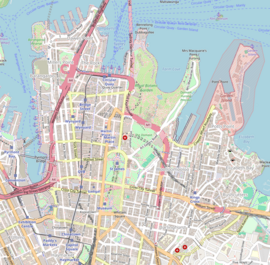
Bayswater Road is a 700-metre-long (2,300 ft)[1] minor street in the Kings Cross district of Sydney, New South Wales, Australia.
- ^ a b "Bayswater Road" (Map). Google Maps. Retrieved 31 May 2023.
- ^ "Main Roads Act, 1924-1963". Government Gazette of the State of New South Wales. No. 137. National Library of Australia. 4 December 1964. p. 3910. Archived from the original on 15 May 2023. Retrieved 31 May 2023.
Previous Page Next Page


