Our website is made possible by displaying online advertisements to our visitors.
Please consider supporting us by disabling your ad blocker.
Branford, Connecticut
Branford, Connecticut | |
|---|---|
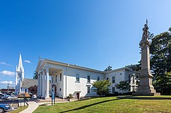
 Town Green | |
| Coordinates: 41°16′40″N 72°47′59″W / 41.27778°N 72.79972°W | |
| Country | |
| U.S. state | |
| County | New Haven |
| Region | South Central CT |
| Settled | 1644 |
| Incorporated | 1685 |
| Government | |
| • Type | Representative town meeting |
| • First selectman | James B. Cosgrove (R) |
| • Selectman | Joseph E. Higgins Jr. (R) |
| • Selectman | Bruce E. Storm (D) |
| Area | |
• Total | 28.0 sq mi (72.5 km2) |
| • Land | 22.0 sq mi (56.9 km2) |
| • Water | 6.0 sq mi (15.6 km2) |
| Elevation | 43 ft (13 m) |
| Population (2020)[1] | |
• Total | 28,273 |
| • Density | 1,000/sq mi (390/km2) |
| Time zone | UTC−5 (Eastern) |
| • Summer (DST) | UTC−4 (Eastern) |
| ZIP code | 06405 |
| Area code(s) | 203/475 |
| FIPS code | 09-07310 |
| GNIS feature ID | 0213395 |
| Website | www |
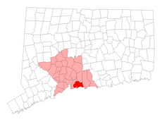
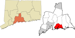
Branford is a shoreline town located on Long Island Sound in New Haven County, Connecticut, United States, about 6 miles (10 km) east of downtown New Haven. The town is part of the South Central Connecticut Planning Region. Branford borders East Haven to the west, Guilford to the east, and North Branford to the north. The population was 28,273 in the 2020 census.[1]
- ^ a b "Census - Geography Profile: Branford town, New Haven County, Connecticut". United States Census Bureau. Retrieved November 26, 2021.
Previous Page Next Page


