Our website is made possible by displaying online advertisements to our visitors.
Please consider supporting us by disabling your ad blocker.
Bucegi Mountains
| Bucegi Mountains | |
|---|---|
 | |
| Highest point | |
| Peak | Omu |
| Elevation | 2,505 m (8,219 ft) |
| Coordinates | 45°26′44″N 25°27′22″E / 45.44556°N 25.45611°E |
| Dimensions | |
| Area | 300 km2 (120 sq mi) |
| Geography | |
| Country | Romania |
| Counties | |
| Geology | |
| Orogeny | Alpine |
| Rock age | Neogene |
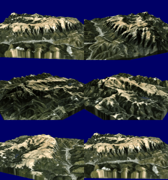
The Bucegi Mountains (Romanian: Munții Bucegi [ˈmuntsij buˈtʃedʒʲ] ⓘ) are located in central Romania, south of the city of Brașov. They are part of the Southern Carpathians group of the Carpathian Mountains. At 2,505 m (8,219 ft), Omu is its highest point.[1]
To the east, the Bucegi Mountains have a very steep slope towards the popular tourist destinations in the Prahova Valley, such as Bușteni and Sinaia. At a higher elevation is the Bucegi Plateau, where wind and rain have turned the rocks into spectacular figures such as the Sphinx and Babele.
The Bucegi is believed to be the Dacian holy mountain Kogainon, on which the God Zalmoxis resided in a cave.[2]
- ^ "2017 Romanian Statistical Yearbook" (PDF). p. 11.
- ^ "Sinaia summer Hiking routes in Bucegi Mountains, rock climbing, mountain bike in Bucegi". www.montania.ro.
Previous Page Next Page


