Our website is made possible by displaying online advertisements to our visitors.
Please consider supporting us by disabling your ad blocker.
Columbia Bar

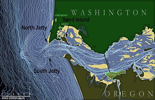
The Columbia Bar is a system of bars and shoals at the mouth of the Columbia River spanning the U.S. states of Oregon and Washington. It is one of the most dangerous bar crossings in the world, earning the nickname Graveyard of the Pacific. The bar is about 3 miles (5 km) wide and 6 miles (10 km) long.[1]
- ^ "Pilotage Grounds". Columbia River Bar Pilots. Retrieved 2010-04-18.
Previous Page Next Page


