Our website is made possible by displaying online advertisements to our visitors.
Please consider supporting us by disabling your ad blocker.
Devil's Sinkhole State Natural Area
| Devil's Sinkhole State Natural Area | |
|---|---|
 Interior view of Devil's Sinkhole | |
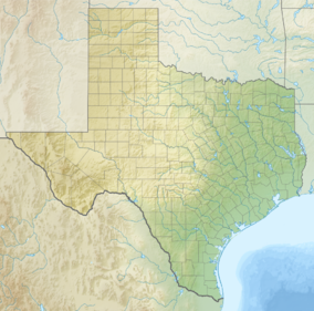
| Coordinates | 30°3′8″N 100°6′12″W / 30.05222°N 100.10333°W |
| Area | 1,859.7 acres (752.6 ha) |
| Established | 1985 |
| Governing body | Texas Parks and Wildlife Department |
| Designated | 1972 |
Devil's Sinkhole State Natural Area is a natural bat habitat near the city of Rocksprings in Edwards County in the U.S. state of Texas. Carved by water erosion, the cavern is home to several million Mexican free-tailed bats that emerge at sunset during April through October.[1]
- ^ Parent, Laurence (2008). Official Guide to Texas State Parks and Historic Sites: Revised Edition. University of Texas Press. pp. 2, 3. ISBN 978-0-292-71726-8.
Previous Page Next Page


