Our website is made possible by displaying online advertisements to our visitors.
Please consider supporting us by disabling your ad blocker.
Doli Gutta
| Doli Gutta | |
|---|---|
| Highest point | |
| Elevation | 965 m (3,166 ft) |
| Listing | List of Indian states and territories by highest point |
| Coordinates | 18°20′31″N 80°44′29″E / 18.34194°N 80.74139°E[1] |
| Geography | |
| Location | Mulugu district, Telangana, India / Bijapur district, Chhattisgarh, India |
| Parent range | Deccan Plateau |
| Climbing | |
| Easiest route | Hike / scramble |
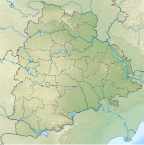
Doli Gutta is a peak in the northern part of the Deccan Plateau. It is located at the border of Mulugu district[2] in Telangana and Bijapur district in Chhattisgarh, India.[1]
- ^ a b Cite error: The named reference
wikimapiawas invoked but never defined (see the help page). - ^ "About district - Mulugu district". New Districts Formation Portal. Retrieved 7 October 2021.
Previous Page Next Page


