Our website is made possible by displaying online advertisements to our visitors.
Please consider supporting us by disabling your ad blocker.
Electoral division (Ireland)


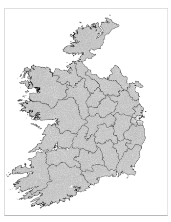
An electoral division (ED, Irish: toghroinn[1]) is a legally defined administrative area in the Republic of Ireland, generally comprising multiple townlands, and formerly a subdivision of urban and rural districts. Until 1996, EDs were known as district electoral divisions (DEDs, toghroinn ceantair[2]) in the 29 county council areas and wards in the five county boroughs.[3] Until 1972, DEDs also existed in Northern Ireland. The predecessor poor law electoral divisions were introduced throughout the island of Ireland in the 1830s. The divisions were used as local-government electoral areas until 1919 in what is now the Republic and until 1972 in Northern Ireland.
- ^ "electoral division". tearma.ie. Foras na Gaeilge. Retrieved 23 November 2021.
- ^ "district electoral division". tearma.ie. Foras na Gaeilge. Retrieved 23 November 2021.
- ^
- "Local Government Act 1994 s.63". electronic Irish Statute Book (eISB). Retrieved 23 November 2021.
- Local Government Act 1994 (Commencement) Order 1996 (S.I. No. 191 of 1996). Signed on 24 June 1996. Statutory Instrument of the Government of Ireland. Retrieved from Irish Statute Book on 8 October 2021.
Previous Page Next Page


