Our website is made possible by displaying online advertisements to our visitors.
Please consider supporting us by disabling your ad blocker.
Kaaterskill Clove
42°10′26″N 74°01′31″W / 42.173978°N 74.025413°W

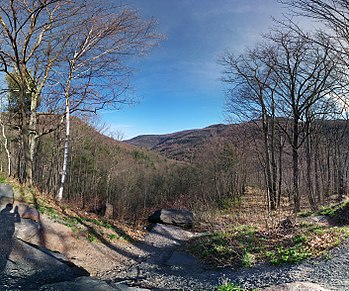
Kaaterskill Clove is a deep gorge, or valley, in New York's eastern Catskill Mountains, lying just west of the village of Palenville and in Haines Falls. The clove was formed by Kaaterskill Creek, a tributary of Catskill Creek rising west of North Mountain, and is estimated by geologists to be as much as 1 million years old.[1] Kaaterskill High Peak and Roundtop Mountain rise to the south of the gorge, while South Mountain is to its north. This makes the gorge as deep as 2,500 feet in places.[2][3]
- ^ Dunn, Russell: Catskill Region Waterfall Guide, ISBN 1-883789-43-5
- ^ Google Maps was kind enough to supply me with the elevation figures.
- ^ U.S. Geological Survey Geographic Names Information System: Kaaterskill Clove
Previous Page Next Page


