Our website is made possible by displaying online advertisements to our visitors.
Please consider supporting us by disabling your ad blocker.
Makhaleng River
| Makhaleng | |
|---|---|
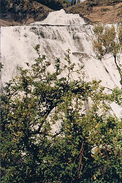
 The Qoaling falls in the Makhaleng River | |
 The Makhaleng in the state territory of Lesotho (lower left center) | |
| Location | |
| Country | Lesotho, South Africa |
| Physical characteristics | |
| Source | |
| • location | Maloti Mountains |
| • elevation | 2,230 m (7,320 ft) |
| Mouth | |
• location | Orange River |
• elevation | 1,390 m (4,560 ft)[1] |
| Length | 190 km (120 mi) |
| Basin size | 8,508 km2 (3,285 sq mi) |
| Discharge | |
| • average | 1.93 m3/s (68 cu ft/s) |
The Makhaleng River is a river of western Lesotho.[2] It rises in the Maloti Mountains, flows generally in a southwesterly direction to join the Orange River at the border with Free State in South Africa.
Previous Page Next Page


