Our website is made possible by displaying online advertisements to our visitors.
Please consider supporting us by disabling your ad blocker.
Maroodi Jeex
Marodi Jeh
| |
|---|---|
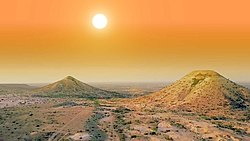
 Naasa Hablood mountains in the outskirts of Hargeisa | |
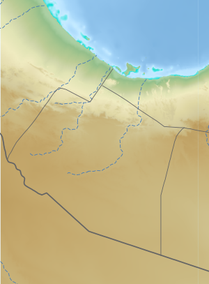
 Location in Somaliland | |
| Coordinates: 6°6′47″N 47°59′17″E / 6.11306°N 47.98806°E | |
| Country | |
| Administrative centre | Hargeisa |
| Government | |
| • Governor | Mohammed Ahmed Alin |
| Area | |
• Total | 57,429 km2 (22,173 sq mi) |
| Time zone | UTC+3 (EAT) |
| HDI (2021) | 0.653[1] low · 1st of 6[2] |
Marodi Jeh (Somali: Maroodi Jeex, Arabic: مرودي جيح) is an administrative region (gobol) in western Somaliland.[3] It is the most populous region of the country. It is bordered by Awdal to the west, Sahil to the north, Togdheer to the east and Ethiopia to the south. Marodi Jeh was created by splitting the previously existing region (gobolka).[4][5] In 2007 the region of Woqooyi Galbeed was renamed to Maroodi Jeex.[3]
Cities, towns and villages in Marodi Jeh.
- ^ "Sub-national HDI - Area Database - Global Data Lab". hdi.globaldatalab.org. Retrieved 2018-09-13.
- ^ Including Saaxil
- ^ a b Republic of Somaliland (2007). "REGIONS & DISTRICTS LAW: LAW NO: 23/2002 AS AMENDED IN 2007". Retrieved 2022-12-10.
- ^ Regions of Somalia
- ^ "Somalia". The World Factbook. Langley, Virginia: Central Intelligence Agency. Retrieved 6 December 2013.
Previous Page Next Page


