Our website is made possible by displaying online advertisements to our visitors.
Please consider supporting us by disabling your ad blocker.
Otrobanda
Otrobanda | |
|---|---|
Neighbourhood | |
 View of Otrobanda from Queen Emma Bridge | |
 | |
| Coordinates: 12°06′32″N 68°56′13″W / 12.109°N 68.937°W | |
| State | Kingdom of the Netherlands |
| Country | Curaçao |
| City | Willemstad |
| Population (2011)[1] | |
• Total | 1,369 |

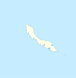
Otrobanda is one of the historic quarters of Willemstad, located at the southwest side of the city, in Curaçao, a Lesser Antilles island in the Dutch Caribbean. Otrobanda was founded in 1707, and has been designated a Unesco World Heritage Site.[2]
- ^ "Census 2011". Central Bureau of Statistics. Retrieved 19 April 2021.
- ^ "Historische Wijken". Curacao.com. Retrieved 19 April 2021.
Previous Page Next Page


