Our website is made possible by displaying online advertisements to our visitors.
Please consider supporting us by disabling your ad blocker.
Pantikapaion
Παντικάπαιον (in Ancient Greek) | |
 The prytaneion of Pantikapaion, second century BC. Kerch's Obelisk of Glory is visible in the background. | |
| Location | Kerch, Autonomous Republic of Crimea |
|---|---|
| Region | Taurica |
| Coordinates | 45°21′3″N 36°28′7″E / 45.35083°N 36.46861°E |
| Type | Settlement |
| Area | 100 ha (250 acres) |
| History | |
| Builder | Settlers from Miletus |
| Founded | 7th or 6th century BC |
| Abandoned | Approximately 370 AD |
| Periods | Archaic Greek |
| Cultures | Greek |
| Site notes | |
| Condition | Ruined |
| Ownership | Public |
| Public access | Yes |
| Official name | Архітектурно-археологічний комплекс "Стародавнє місто Пантікапей" (Architectural and archaeological complex of the Ancient city of Pantikapaion) |
| Type | Archaeology |
| Reference no. | 010017-Н |
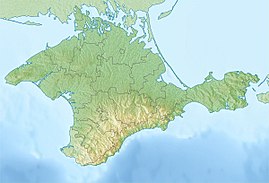
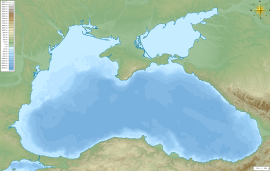
Pantikapaion (Ancient Greek: Παντικάπαιον Pantikapaion, from Scythian *Pantikapa 'fish-path';[1] Latin: Panticapaeum) was an ancient Greek city on the eastern shore of Crimea, which the Greeks called Taurica. The city lay on the western side of the Cimmerian Bosporus, and was founded by Milesians in the late 7th or early 6th century BC, on a hill later named Mount Mithridat. Its ruins now lie in the modern city of Kerch.
- ^ Diakonoff, I. M. (1985). "Media". In Gershevitch, Ilya (ed.). The Cambridge History of Iran. Vol. 2. Cambridge: Cambridge University Press. p. 93. ISBN 978-0-521-20091-2.
Previous Page Next Page


