Our website is made possible by displaying online advertisements to our visitors.
Please consider supporting us by disabling your ad blocker.
Poro Island
| Geography | |
|---|---|
| Location | Camotes Sea |
| Coordinates | 10°40′N 124°27′E / 10.667°N 124.450°E |
| Archipelago | Philippines |
| Area | 96.6 km2 (37.3 sq mi) |
| Length | 13 km (8.1 mi) |
| Width | 9.8 km (6.09 mi) |
| Highest elevation | 1,240 ft (378 m) |
| Highest point | Three Peaks |
| Administration | |
| Province | Cebu |
| Demographics | |
| Population | 36,508 (2015) |
| Pop. density | 350/km2 (910/sq mi) |
| Ethnic groups | Porohanon people |
| Additional information | |
 | |
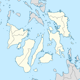
Poro Island (Filipino: Pulo ng Poro) is an island in the province of Cebu, located east of Cebu Island and west of Leyte Island. Two municipalities, Poro and Tudela, are located on Poro Island. It is one of the four Camotes Islands along with Pacijan Island, Ponson Island, and Tulang Island. The island is one of the early Pacific contact sites between the East and the West.
Previous Page Next Page


