Our website is made possible by displaying online advertisements to our visitors.
Please consider supporting us by disabling your ad blocker.
Rajaji National Park
This article needs additional citations for verification. (April 2012) |
| Rajaji National Park | |
|---|---|
| Location | Uttarakhand, India |
| Nearest city | Haridwar and Dehra Dun |
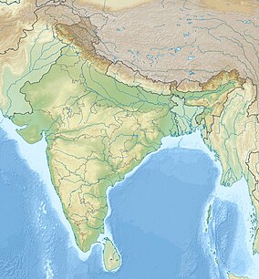
| Coordinates | 30°03′29″N 78°10′22″E / 30.05806°N 78.17278°E |
| Area | 820.5 km2 (316.8 sq mi) |
| Established | 1983 |
| Governing body | Principal Chief Conservator of Forests, Uttarakhand |
| Website | junglesafarirajajinationalpark |
Rajaji National Park is a national park and tiger reserve in the Indian state of Uttarakhand.[1] that encompasses the Shivaliks, near the foothills of the Himalayas. It covers 820 km2 (320 sq mi)[2] and is included in three districts of Uttarakhand—Haridwar, Dehradun and Pauri Garhwal. In 1983, three wildlife sanctuaries in the area (namely, Chilla, Motichur and Rajaji) were merged into one.[2]
Rajaji National Park was named after C. Rajagopalachari (Rajaji), a prominent leader of the Freedom Struggle, the first and last Governor-General of independent India and one of the first recipients of India's highest civilian award, Bharat Ratna (in 1954).
Previous Page Next Page


