Our website is made possible by displaying online advertisements to our visitors.
Please consider supporting us by disabling your ad blocker.
Sugar Loaf (Winona, Minnesota)
| Sugar Loaf | |
|---|---|
 Sugar Loaf bluff | |
| Highest point | |
| Elevation | 1,214 ft (370 m)[1] |
| Coordinates | 44°1′42″N 91°37′36″W / 44.02833°N 91.62667°W |
| Geography | |
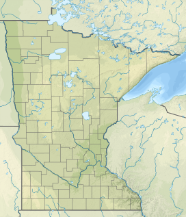
| Location | Winona, Minnesota, United States |
| Geology | |
| Mountain type | River bluff |
Sugar Loaf | |
| Location | Southwest of U.S. Highway 61 and Minnesota State Highway 43, Winona, Minnesota |
| Area | 18 acres (7.3 ha) |
| NRHP reference No. | 90001164[2] |
| Added to NRHP | August 3, 1990 |
Sugar Loaf is a bluff on the Mississippi River topped by a rock pinnacle, overlooking the city of Winona, Minnesota, United States.[3] The name "Sugar Loaf" is sometimes taken to mean just the rock pinnacle, which was created by quarrying in the 19th century. The bluff stands above the junction of U.S. Route 61 and State Highway 43. It towers 500 feet (150 m) over Lake Winona (a former part of the Mississippi River's main channel), and the pinnacle rises more than 85 feet (26 m) above the remainder of the bluff.
Sugar Loaf was listed on the National Register of Historic Places in 1990 for having local significance in the theme of entertainment/recreation.[4] It was nominated for being one of Minnesota's most famous landmarks to early travelers and tourists; a popular subject for stereopticon images, travel literature, and folklore.[3]
- ^ "KWNO-AM (Winona)". Geographic Names Information System. United States Geological Survey, United States Department of the Interior.
- ^ "National Register Information System". National Register of Historic Places. National Park Service. July 9, 2010.
- ^ a b Zellie, Carole (May 31, 1989), National Register of Historic Places Registration Form: Sugar Loaf, National Park Service, retrieved July 2, 2015
- ^ "Sugar Loaf". Minnesota National Register Properties Database. Minnesota Historical Society. 2009. Retrieved June 23, 2015.
Previous Page Next Page


