Our website is made possible by displaying online advertisements to our visitors.
Please consider supporting us by disabling your ad blocker.
Torna Fort
This article needs additional citations for verification. (June 2015) |
| Torna | |
|---|---|
 Torna Fort | |
| Highest point | |
| Elevation | 1,403 m (4,603 ft) |
| Coordinates | 18°16′33.86″N 73°37′21.78″E / 18.2760722°N 73.6227167°E |
| Naming | |
| English translation | तोरणा गड |
| Language of name | Marathi |
| Geography | |
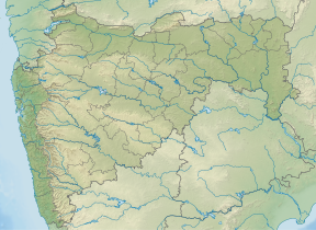
| Location | Pune district, Maharashtra, India |
| Parent range | Sahyadri Range |
Torna Fort, also known as Prachandagad, is a large fort located in Pune district, in the Indian state of Maharashtra. It is historically significant because it was the first fort captured by Shivaji I in 1646, at the age of 16. The hill has an elevation of 1,403 metres (4,603 ft) above sea level, making it the highest hill-fort in the district. The name derives from Prachanda (Marathi for huge or massive) and gad (Marathi for fort).[1]
- ^ "chatrapati-shivaji". Retrieved August 19, 2013.
Previous Page Next Page


