Our website is made possible by displaying online advertisements to our visitors.
Please consider supporting us by disabling your ad blocker.
Westpunt
Westpunt | |
|---|---|
 A pelican on Westpunt Beach | |
| Coordinates: 12°22′N 069°10′W / 12.367°N 69.167°W | |
| State | Kingdom of the Netherlands |
| Country | Curaçao |
| District | Bandabou |
| Area | |
• Total | 13.72 km2 (5.30 sq mi) |
| Population (2011)[2] | |
• Total | 738 |
| • Density | 54/km2 (140/sq mi) |
| Climate | BSh |
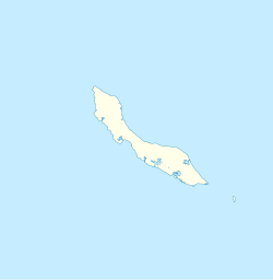
Westpunt is a region indicating the westernmost point of the island of Curaçao, a country within the Kingdom of the Netherlands in the Caribbean. It is located within the district of Bandabou. A flag marks the most westerly point of the island off Cliff Villa Peninsula one kilometre north of the town of Sabana Westpunt.
- ^ Buurtprofiel Westpunt 2011, p. 12.
- ^ "Census 2011". Central Bureau of Statistics. Retrieved 17 April 2021.
Previous Page Next Page


