Our website is made possible by displaying online advertisements to our visitors.
Please consider supporting us by disabling your ad blocker.
Donnerskirchen
| Donnerskirchen | ||||
 Héraldique |
||||
 Panoramique de la vallée | ||||
| Administration | ||||
|---|---|---|---|---|
| Pays | ||||
| Land | ||||
| District (Bezirk) |
Eisenstadt-Umgebung | |||
| Code postal | A-7082 | |||
| Immatriculation | EU | |||
| Indicatif | 43+ | |||
| Code Commune | 1 03 02 | |||
| Démographie | ||||
| Population | 1 810 hab. () | |||
| Densité | 53 hab./km2 | |||
| Géographie | ||||
| Coordonnées | 47° 54′ 00″ nord, 16° 38′ 00″ est | |||
| Altitude | 193 m |
|||
| Superficie | 3 392 ha = 33,92 km2 | |||
| Localisation | ||||
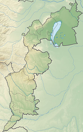
| Géolocalisation sur la carte : Autriche
Géolocalisation sur la carte : Autriche
Géolocalisation sur la carte : Burgenland
| ||||
| modifier |
||||
Donnerskirchen est une commune d'Autriche (district d'Eisenstadt-Umgebung), située au sud de Vienne et près d'Eisenstadt, capitale du Burgenland, à la frontière hongroise. Il s'agit d'un village de vallée ancien, protégé par les collines et les contreforts du massif de Leitha, où le vignoble est répandu.
Cette commune, tournée vers le commerce, a pour maire Johannes Mezgolits. Elle comptait en 2005 un peu plus de 1 700 habitants résidents, soit 50 hab./km2. Son nom hongrois est Fertőfehéregyháza.
Previous Page Next Page


