Our website is made possible by displaying online advertisements to our visitors.
Please consider supporting us by disabling your ad blocker.
Vestenbergsgreuth
| Vestenbergsgreuth | |

| |
 Armoiries |
|
| Administration | |
|---|---|
| Pays | |
| Land | |
| District (Regierungsbezirk) |
Moyenne-Franconie |
| Arrondissement (Landkreis) |
Erlangen-Höchstadt |
| Nombre de quartiers (Ortsteile) |
14 |
| Code postal | 91487 |
| Indicatif téléphonique | 09163 |
| Immatriculation | ERH |
| Démographie | |
| Population | 1 622 hab. () |
| Densité | 51 hab./km2 |
| Géographie | |
| Coordonnées | 49° 43′ 02″ nord, 10° 38′ 06″ est |
| Altitude | 305 m |
| Superficie | 3 184 ha = 31,84 km2 |
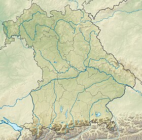
| Localisation | |
| Liens | |
| Site web | www.vestenbergsgreuth.de |
| modifier |
|
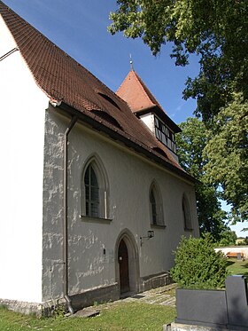
Vestenbergsgreuth est une commune de Bavière (Allemagne), située dans l'arrondissement d'Erlangen-Höchstadt, dans le district de Moyenne-Franconie.
Previous Page Next Page


