Our website is made possible by displaying online advertisements to our visitors.
Please consider supporting us by disabling your ad blocker.
Gsteigwiler
| Gsteigwiler comune | |
|---|---|
| Localizzazione | |
| Stato | |
| Cantone | |
| Regione | Oberland |
| Circondario | Interlaken-Oberhasli |
| Amministrazione | |
| Lingue ufficiali | Tedesco |
| Territorio | |
| Coordinate | 46°39′18″N 7°52′30″E |
| Altitudine | 645 m s.l.m. |
| Superficie | 7,0 km² |
| Abitanti | 405 (2017) |
| Densità | 57,86 ab./km² |
| Frazioni | Breitlauenen, Gsteig bei Interlaken |
| Comuni confinanti | Bönigen, Gündlischwand, Matten bei Interlaken, Wilderswil |
| Altre informazioni | |
| Cod. postale | 3814 |
| Prefisso | 033 |
| Fuso orario | UTC+1 |
| Codice OFS | 0577 |
| Targa | BE |
| Cartografia | |
 | |
| Sito istituzionale | |
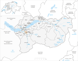
Gsteigwiler (toponimo tedesco) è un comune svizzero di 405 abitanti del Canton Berna, nella regione dell'Oberland (circondario di Interlaken-Oberhasli).
Previous Page Next Page


