Our website is made possible by displaying online advertisements to our visitors.
Please consider supporting us by disabling your ad blocker.
East Tennessee
East Tennessee | |
|---|---|
|
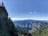
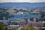
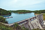
Images, from top down, left to right: Clingmans Dome in Great Smoky Mountains National Park the highest point in Tennessee, Neyland Stadium at the University of Tennessee, skyline of Knoxville, skyline of Chattanooga, Norris Dam and its reservoir, Oak Ridge National Laboratory, Sycamore Shoals State Historic Area | |
| Nickname(s): East TN, East Tenn. | |
 The counties of Tennessee highlighted in red are part of East Tennessee. | |
| Country | |
| State | |
| Largest city | Knoxville |
| Area | |
| • Land | 35,115.8 km2 (13,558.27 sq mi) |
| Population (2020) | 2,470,105 |
| • Density | 70.34/km2 (182.18/sq mi) |
| Demonym | East Tennessean |
East Tennessee is one of the three Grand Divisions of Tennessee. It is geographically and culturally distinct and comprises approximately the eastern third of the U.S. state of Tennessee. East Tennessee consists of 33 counties. 30 are located within the Eastern Time Zone and three counties in the Central Time Zone which includes Bledsoe, Cumberland, and Marion.[1] East Tennessee is entirely located within the Appalachian Mountains, although the land area range from densely forested 6,000-foot (1,800 m) mountains to broad river valleys. The area has the major cities of Knoxville and Chattanooga which are Tennessee's third and fourth largest cities. It also has the Tri-Cities which is the state's sixth largest population center.
- ↑ "Tennessee Blue Book 2015-2016" (PDF). sos.tn.gov. Nashville: Tennessee Secretary of State. 2015. p. 639. Retrieved June 5, 2021.
Previous Page Next Page


