Our website is made possible by displaying online advertisements to our visitors.
Please consider supporting us by disabling your ad blocker.
Mount Katahdin
| Mount Katahdin | |
|---|---|
 Katahdin from 10,000 ft (3,000 m) | |
| Highest point | |
| Elevation | 5,267 ft (1,605 m)NAVD 88[1] |
| Prominence | 4,288 ft (1,307 m)[2] |
| Listing | |
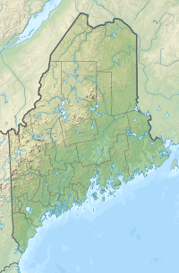
| Coordinates | 45°54′16″N 68°55′17″W / 45.904354472°N 68.921274306°W[1] |
| Geography | |
| Parent range | Appalachian Mountains |
| Topo map | USGS Mount Katahdin |
| Geology | |
| Age of rock | Devonian, Acadian orogeny |
| Mountain type | Granite |
| Climbing | |
| First ascent | 1804 by Charles Turner, Jr. |
| Easiest route | Hike, Abol Trail / Hunt Trail 3.8 miles (6.1 km) |
| Designated | 1967 |
Mount Katahdin (/kəˈtɑːdɪn/ kə-TAH-din) is the highest mountain in the U.S. state of Maine. It is 5,267 feet (1,605 m) tall.
- ↑ 1.0 1.1 "Katahdin 2". NGS data sheet. U.S. National Geodetic Survey. Retrieved 2011-01-01.
- ↑ "Katahdin, Maine". Peakbagger.com. Retrieved 2012-11-08.
Previous Page Next Page


