Our website is made possible by displaying online advertisements to our visitors.
Please consider supporting us by disabling your ad blocker.
Puerco River
| Puerco River Rio Puerco or “Perky” | |
|---|---|
 Flowing near Puerco Pueblo, in Petrified Forest National Park | |
The mouth of the Puerco River on the Little Colorado River, northeast-central Arizona | |
| Location | |
| Country | United States |
| State | Arizona, New Mexico |
| Region | Colorado Plateau |
| Physical characteristics | |
| Source | near Hosta Butte |
| • location | McKinley County, New Mexico |
| • coordinates | 35°34′33″N 108°10′52″W / 35.57583°N 108.18111°W[1] |
| • elevation | 7,930 ft (2,420 m)[2] |
| Mouth | Little Colorado River |
• location | near Holbrook, Navajo County, Arizona |
• coordinates | 34°53′20″N 110°07′17″W / 34.88889°N 110.12139°W[1] |
• elevation | 5,102 ft (1,555 m)[1] |
| Length | 167 mi (269 km)[3] |
| Basin size | 2,654 sq mi (6,870 km2) |
| Discharge | |
| • location | near Chambers, Arizona |
| • average | 70 cu ft/s (2.0 m3/s) |
| • minimum | 0 cu ft/s (0 m3/s) |
| • maximum | 17,800 cu ft/s (500 m3/s) |
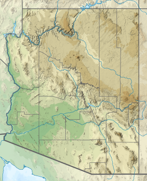
The Puerco River or Rio Puerco is a tributary of the Little Colorado River in northwestern New Mexico and northeastern Arizona. It flows through arid terrain, including the Painted Desert.
- ^ a b c "Puerco River". Geographic Names Information System (GNIS). United States Geological Survey. February 8, 1980. Retrieved May 28, 2010.
- ^ Source elevation derived from Google Earth search using GNIS source coordinates.
- ^ "The National Map". U.S. Geological Survey. Retrieved Feb 25, 2011.
Previous Page Next Page


