Back Нікумарора BE Nikumaroro Catalan Nikumaroro Island CEB Nikumaroro Czech Νικουμαρόρο Greek Nikumaroro English Isla Nikumaroro Spanish جزیره نیکومارورو FA Nikumaroro Finnish Nikumaroro French
| Nikumaroro | |
|---|---|
 | |
| Gewässer | Pazifischer Ozean |
| Archipel | Phoenixinseln |
| Geographische Lage | 4° 40′ S, 174° 32′ W |
| Anzahl der Inseln | 2 |
| Hauptinsel | Nikumaroro |
| Länge | 7,5 km |
| Breite | 2,5 km |
| Landfläche | 4,1 km² |
| Lagunenfläche | 8 km² |
| Einwohner | unbewohnt |
 | |

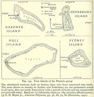
(Nikumaroro = Gardner Island)
Nikumaroro (frühere Namen: Gardner Island, auch Motu Oona) ist ein im Pazifik gelegenes Atoll. Es ist die westlichste der zum Inselstaat Kiribati gehörenden Gruppe der Phoenixinseln.