Back Penpont (Skos) BR Penpont CY Penpont English Penpont EU Penpont French Penpont GA Penpont GD Penpont Italian Penpont, Dumfries an Gallowa SCO
| Penpont | ||
|---|---|---|
 | ||
| Staat: | ||
| Koordinaten | 55° 14′ N, 3° 49′ W | |
|
| ||
| Traditionelle Grafschaft | Dumfriesshire | |
| Verwaltung | ||
| Post town | THORNHILL | |
| Postleitzahlenabschnitt | DG3 | |
| Vorwahl | 01848 | |
| Landesteil | Schottland | |
| Council area | Dumfries and Galloway | |
| Britisches Parlament | Dumfriesshire, Clydesdale and Tweeddale | |
| Schottisches Parlament | Dumfriesshire | |
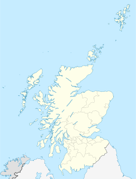
Penpont ist eine Ortschaft in der schottischen Council Area Dumfries and Galloway. Sie liegt rund fünf Kilometer westlich von Thornhill und 24 Kilometer nordwestlich von Dumfries am linken Ufer des Scaur Water.[1] Historisch lag Penpont in der traditionellen Grafschaft Dumfriesshire und dem Distrikt Nithsdale.[2]
- ↑ Eintrag im Gazetteer for Scotland
- ↑ Penpont in: F. H. Groome: Ordnance Gazetteer of Scotland: A Survey of Scottish Topography, Statistical, Biographical and Historical, Grange Publishing, Edinburgh, 1885.
