Back ویتوورث، لانکاشر AZB Whitworth (lungsod) CEB Whitworth, Swydd Gaerhirfryn CY Whitworth, Lancashire English Whitworth Spanish Whitworth (Lancashire) EU ویتوورث، لانکاشر FA Whitworth (Lancashire) French Whitworth, Lancashire GA Whitworth (Lancashire) Italian
| Whitworth | ||
|---|---|---|
 | ||
| Staat: | ||
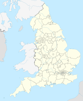
| Koordinaten | 53° 40′ N, 2° 10′ W | |
| OS National Grid | SD882185 | |
|
| ||
| Traditionelle Grafschaft | Lancashire | |
| Einwohner | 7500 (Stand: (2011 Census)) | |
| Fläche | 18,1 km² (6,99 mi²) [1] | |
| Bevölkerungsdichte: | 414 Einw. je km² | |
| Verwaltung | ||
| Post town | Rochdale | |
| Postleitzahlenabschnitt | OL12 | |
| Vorwahl | 01706 | |
| Landesteil | England | |
| Region | North West England | |
| Shire county | Lancashire | |
| District | Rossendale | |
| Britisches Parlament | Rossendale and Darwen | |
| Website: http://www.whitworth.gov.uk/ | ||
Whitworth ist eine Stadt in Lancashire (England). Sie unterhält seit 1966 eine Städtepartnerschaft mit Kandel in der Südpfalz.
- ↑ Local Area Report für Whitworth auf dem Informationssystem nomisweb des Office for National Statistics; abgerufen am 28. Februar 2019.
