Back بيتبريدج Arabic بيتبريدج ARZ Beitbridge CEB Beitbridge Czech Beitbridge Danish Beitbridge (Simbabwe) German Beitbridge ET Beitbridge Finnish Beitbridge French Beitbridge Italian
Beitbridge | |
|---|---|
| Beitbridge | |
 Beitbridge Borderpost, Zimbabwe | |
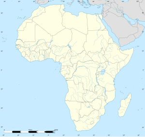
| Coordinates: 22°13′S 30°00′E / 22.217°S 30.000°E | |
| Country | |
| Province | Matabeleland South |
| District | Beitbridge |
| Established | 1929 |
| Elevation | 457 m (1,499 ft) |
| Population (2022 census)[1] | |
• Total | 58,100 |
| Time zone | UTC+2 (CAT) |
| Climate | BSh |
Beitbridge is a border town in the province of Matabeleland South, Zimbabwe. The name also refers to the border post and bridge spanning the Limpopo River, which forms the political border between South Africa and Zimbabwe. The border on the South African side of the river is also named Beitbridge.
- ^ Citypopulation.de Population of cities & urban localities in Zimbabwe

