Back بير طويل Arabic بير طويل ARZ Bir Tawil AST Bir Tavil AZ Бір Тавіль BE Бир Тавил Bulgarian Bir Tawil Catalan Bír Tavíl Czech Bir Tawil Danish Bir Tawil German
Bir Ṭawil
بير طويل | |
|---|---|
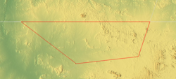
 Topographic map of Bir Ṭawil (outlined in red) | |
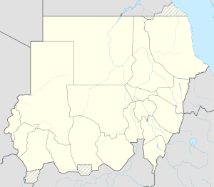
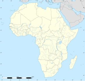
| Coordinates: 21°52′9″N 33°44′52″E / 21.86917°N 33.74778°E | |
| Country | None |
| Area | |
• Total | 2,060 km2 (800 sq mi) |
| • Water | 0 km2 (0 sq mi) |
| Population | |
• Total | 0 |
| Transient populations only[1] | |
Bir Tawil (Egyptian Arabic: بير طويل, romanized: Bīr Ṭawīl, lit. 'tall water well', [biːɾ tˤɑˈwiːl]) is a 2,060 km2 (795.4 sq mi) area of land along the border between Egypt and Sudan, which is uninhabited and claimed by neither country. When spoken of in association with the neighbouring Halaib Triangle, it is sometimes referred to as the Bir Tawil Triangle, despite the area's quadrilateral shape; the two regions border at a quadripoint.
Its unclaimed status results from a discrepancy between the straight political boundary between Egypt and Sudan established in 1899, and the irregular administrative boundary established in 1902. Egypt asserts the political boundary, and Sudan asserts the administrative boundary, with the result that the Halaib Triangle is claimed by both and Bir Tawil by neither. In 2014, author Alastair Bonnett described Bir Tawil as the only place on Earth that was habitable but was not claimed by any recognised government.[2]
- ^ Karalekas, Dean (2020). "Navigating Terra Nullius: The Ababda and the Case for Indigenous Land Rights in Bir Tawil" (PDF). Global Journal of Economics and Finance. 4 (2): 41–49. Archived from the original (PDF) on 20 January 2021.
- ^ Bonnett, Alastair (2014). "Bir Tawil". Unruly Places: Lost Spaces, Secret Cities and Other Inscrutable Geographies. Houghton Mifflin Harcourt. p. 73. ISBN 978-0-544-10160-9. LCCN 2013050983. OCLC 890509603.
the only place on the planet that is both habitable and unclaimed.


