Back Eravikulam National Park CEB Eravikulam-Nationalpark German Parque nacional de Eravikulam Spanish Parc national d'Eravikulam French एराविकुलम राष्ट्रीय उद्यान HI ಎರವಿಕುಲಂ ರಾಷ್ಟ್ರೀಯ ಉದ್ಯಾನ KN ഇരവികുളം ദേശീയോദ്യാനം Malayalam एराविकुलम राष्ट्रीय उद्यान MR Park Narodowy Erawikulam Polish اراویکولم نیشنل پارک PNB
| Eravikulam National Park | |
|---|---|
 | |
| Location | Idukki, Kerala, India and Pooyamkutty forest, Ernakulam district, Kerala, India |
| Nearest town | Munnar, Palani, Theni, Kothamangalam, Adimali |
| Coordinates | 10°12′00″N 77°04′59″E / 10.2°N 77.083°E |
| Area | 97 km2 (37 sq mi) |
| Visitors | 148,440 (in 2001) |
| Governing body | Department of Forests and Wildlife, Government of Kerala |
| www | |
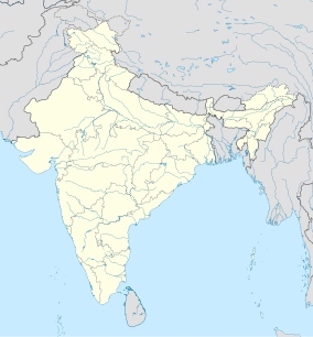
Eravikulam National Park is a 97 km2 national park located along the Western Ghats in the Idukki and Ernakulam districts of Kerala in India. The park is situated between 10º05'N and 10º20' north, and 77º0' and 77º10' east and is the first national park in Kerala. It was established in 1978.
Eravikulam National Park is administered by the Kerala Department of Forests and Wildlife, Munnar Wildlife Division, which also runs the nearby Mathikettan Shola National Park, Anamudi Shola National Park, Pambadum Shola National Park, Chinnar Wildlife Sanctuary and the Kurinjimala Sanctuary.[1]
- ^ K.S. Sudhi (3 November 2006) The Hindu, retrieved 21 June 2007 New lives bloom in Rajamala

