Back কাপ্তাই ৰাষ্ট্ৰীয় উদ্যান AS কাপ্তাই জাতীয় উদ্যান Bengali/Bangla Kaptai-Nationalpark German پارک ملی کاپتای FA കപ്റ്റായി ദേശീയോദ്യാനം Malayalam
| Kaptai National Park | |
|---|---|
| Location | Rangamati District, Chittagong Division, Bangladesh |
| Coordinates | 22°30′08″N 92°12′04″E / 22.50222°N 92.20111°E |
| Area | 54.64 km2 (21.10 sq mi) |
| Established | 1999 |
| Governing body | Bangladesh Forest Department |
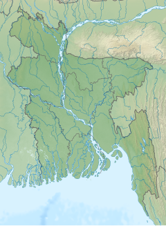
Kaptai National Park is a national park in Bangladesh situated in Rangamati District. It was established in 1999 and its area is 5,464.78 hectares (13,503.8 acres). Prior to the declaration of the national park, it was known as Sitapahar Reserve. The original Sitapahar Reserve area was 14,448.0 acres. Out of this an area of 100 acres have been dereserved for the establishment of the industrial estate at Kaptai. It is about 57 kilometre from Chittagong city. It comprises with two Ranges namely Kaptai Range and Karnaphuli Range. Kaptai National park is managed under CHT South Forest Division. It is historically important because teak (Tectona grandis) plantations in Bangladesh were started from this area. Its forest type is mixed evergreen forest. In 2009 IPAC (Integrated Protected Area Co-management) project started its activities in this protected area.[1]
- ^ Bonnozahid (26 June 2010). "BonnoZahid: Kaptai National Park,Rangamati,Bangladesh".
