Back ناسا ورلد ويند Arabic NASA World Wind Catalan NASA World Wind Czech NASA World Wind Danish NASA World Wind German NASA WorldWind Greek NASA World Wind Spanish ناسا ورلد ویند FA World Wind French NASA World Wind Italian
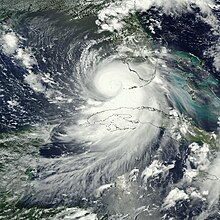
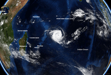
 Screenshot of WorldWind showing Blue Marble Next Generation layer | |
| Developer(s) | Ames Research Center (NASA) |
|---|---|
| Initial release | 2003 |
| Repository | |
| Written in | JavaScript (Web), Java (Android, Desktop Java SE, and Server), C# (obsolete Windows/.NET) |
| Operating system | Cross-platform; see above |
| Available in | English |
| Type | Virtual globe software development kit |
| License | NASA Open Source Agreement v1.3 |
| Website | worldwind |


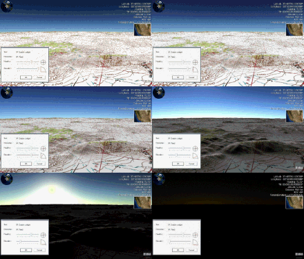
NASA WorldWind is an open-source (released under the NOSA license and the Apache 2.0 license) virtual globe. According to the website, "WorldWind is an open source virtual globe API. WorldWind allows developers to quickly and easily create interactive visualizations of 3D globe, map and geographical information. Organizations around the world use WorldWind to monitor weather patterns, visualize cities and terrain, track vehicle movement, analyze geospatial data and educate humanity about the Earth." It was first developed by NASA in 2003 for use on personal computers and then further developed in concert with the open source community since 2004. As of 2017,[update] a web-based version of WorldWind is available online.[1] An Android version is also available.[2]
The original version relied on .NET Framework, which ran only on Microsoft Windows. The more recent Java version, WorldWind Java, is cross platform, a software development kit (SDK) aimed at developers and, unlike the old .NET version, not a standalone virtual globe application in the style of Google Earth. The WorldWind Java version was awarded NASA Software of the Year in November 2009.[3] The program overlays NASA and USGS satellite imagery, aerial photography, topographic maps, Keyhole Markup Language (KML) and Collada files.
- ^ "World Wind Explorer". explorer.worldwind.earth.
- ^ "WorldWindAndroid github repository". GitHub. 15 May 2020.
- ^ "Software of the Year Award, WorldWind Java". nasa.gov. December 24, 2009. Archived from the original on June 11, 2013.