This article needs additional citations for verification. (September 2015) |
| Oleta River State Park | |
|---|---|
IUCN category IV (habitat/species management area) | |
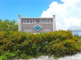
 Entrance sign to Oleta River State Park | |
| Location | North Miami Beach, Miami, Florida, United States |
| Coordinates | 25°55′08″N 80°08′24″W / 25.91889°N 80.14000°W |
| Area | 1,043 acres (4.22 km2) |
| Created | 1986 |
| Governing body | Florida State Parks |
| Website | Oleta River State Park |
The Oleta River State Park is a 1,033-acre (418 ha) state park on Biscayne Bay in the municipal suburb of North Miami Beach in metropolitan Miami, Florida. Adjoining the Biscayne Bay Campus of Florida International University, the park contains one of the largest concentrations of Casuarina trees (Australian 'pine'), an invasive species in the state park system. Along the park's coastline are mangrove forests. They provide vital nurseries for aquatic life and filter urban pollutants from coastal waters. The state park promotes biodiversity of flora and fauna through the assistance of Friends of Oleta River State Park. The 501(c)(3) nonprofit citizen support organization (CSO); sponsors events, raises funds, and advances the goals of Oleta River State Park. The state park hosts about 15 endangered species.
The weather in the area has the lowest average temperature in January, being at 58 degrees Fahrenheit. The highest average temperature is in July and August, being at 90 degrees Fahrenheit. The lowest average rainfall is in January, with about 1.95 inches of rainfall. The highest average rainfall is in September, with about 9.21 inches of rainfall.


