Back Tepetlixpa Catalan Tepetlixpa (munisipyo) CEB Municipio Tepetlixpa German Tepetlixpa EO Municipio de Tepetlixpa Spanish Tepetlixpa (udalerria) EU Tepetlixpa French Tepetlixpa Italian Tepetlixpa (belediye) LAD Tepetlixpa MG
Tepetlixpa | |
|---|---|
 Church of Saint Stephen in Tepetlixpa | |
| Coordinates: 19°0′2″N 98°49′04″W / 19.00056°N 98.81778°W | |
| Country | |
| State | Mexico (state) |
| Municipal Seat | Village of Tepetlixpa |
| Area | |
• Total | 46.68 km2 (18.02 sq mi) |
| Population (2020) | |
• Total | 20,500 |
| Time zone | UTC-6 (Central) |
| Postal code | 56880 |
| Website | tepetlixpa.gob.mx |
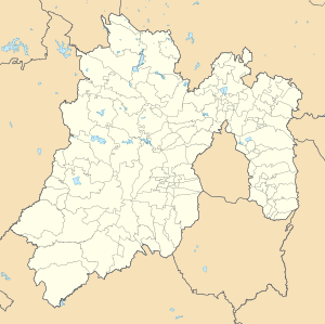
Tepetlixpa is a municipality in the State of Mexico in Mexico. The municipality covers an area of 46.68 km2 (18.02 sq mi) and borders on the state of Morelos.
In 2000, the municipality had a total population of 16,871.[1] By 2020, the figure had risen to 20,500.[2]
- ^ "Tepetlixpa". Enciclopedia de los Municipios de México. Instituto Nacional para el Federalismo y el Desarrollo Municipal. Archived from the original on 18 May 2007. Retrieved 6 June 2009.
- ^ "Tepetlixpa: Economy, employment, equity, quality of life, education, health and public safety". Data México. Secretaría de Economía. Retrieved 1 January 2025.

