Back بايريش جمأين Arabic Boarisch Gmoa BAR Байериш-Гмайн CE Bayerisch Gmain (munisipyo) CEB Bayerisch Gmain Czech Bayerisch Gmain German Bayerisch Gmain English Bayerisch Gmain EO Bayerisch Gmain Spanish Bayerisch Gmain EU
| Bayerisch Gmain | |

| |
 Armoiries |
|
| Administration | |
|---|---|
| Pays | |
| Land | |
| District (Regierungsbezirk) |
Haute-Bavière |
| Arrondissement (Landkreis) |
Pays-de-Berchtesgaden |
| Bourgmestre (Bürgermeister) |
Hans Hawlitschek (CSU) |
| Code postal | 83471 |
| Code communal (Gemeindeschlüssel) |
09 1 72 115 |
| Indicatif téléphonique | 08651 |
| Immatriculation | BGL |
| Démographie | |
| Population | 2 944 hab. (30 juin 2005) |
| Densité | 258 hab./km2 |
| Géographie | |
| Coordonnées | 47° 26′ nord, 12° 32′ est |
| Altitude | 540 m |
| Superficie | 1 140 ha = 11,4 km2 |
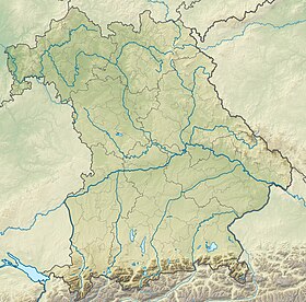
| Localisation | |
| Liens | |
| Site web | www.bayerisch-gmain.de |
| modifier |
|
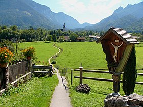
Bayerisch Gmain est une commune du district de Haute-Bavière dans l'arrondissement du Pays-de-Berchtesgaden. Elle jouxte Bad Reichenhall. C'est un ruisseau le Weißbach qui sépare Bayerisch Gmain de la commune autrichienne de Großgmain.

