| Cerro Standhardt | |||||
 Quelques sommets du groupe du Cerro Torre 2 : Cerro Torre, 3 : Torre Egger, 4 : Punta Herron, 5 : Aguja Standhart, 7 : Aguja Bífida, 11 : Cuatro Dedos. | |||||
| Géographie | |||||
|---|---|---|---|---|---|
| Altitude | 2 730 m[1] | ||||
| Massif | Cordillère de Patagonie (Andes) | ||||
| Coordonnées | 49° 17′ 12″ sud, 73° 05′ 48″ ouest | ||||
| Administration | |||||
| Pays | |||||
| Province Région |
Santa Cruz Magallanes et Antarctique chilien |
||||
| Département Province |
Lago Argentino Última Esperanza |
||||
| Ascension | |||||
| Première | 1988 par Jim Bridwell, Greg Smith et Jay Smith | ||||
| Voie la plus facile | El Caracol Exocet |
||||
| Géologie | |||||
| Roches | Granite | ||||
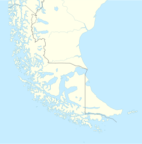
| Géolocalisation sur la carte : Argentine
Géolocalisation sur la carte : Chili
Géolocalisation sur la carte : Santa Cruz
Géolocalisation sur la carte : Patagonie australe
| |||||
| modifier |
|||||
Le cerro Standhardt ou Aguja Standhardt (« aiguille Standhardt ») est un sommet de Patagonie situé à la frontière entre l'Argentine et le Chili. C'est le plus élevé d'une chaîne de quatre sommets : le cerro Torre, la Torre Egger, la Punta Herron et le cerro Standhardt. Il a été nommé en l'honneur du photographe et naturaliste allemand Ernst Standhardt (1888-1967).
- ↑ (en) « Chalten Massif », American Alpine Journal, , p. 182 (lire en ligne)


