Back Франкенау-Унтерпуллендорф CE Frankenau-Unterpullendorf CEB Frankenau-Unterpullendorf Czech Frankenau-Unterpullendorf German Frankenau-Unterpullendorf English Frankenau-Unterpullendorf EO Frankenau-Unterpullendorf Spanish Frankenau-Unterpullendorf ET فرانکناو اونترپولندورف FA Frakanava-Dolnja Pulja Croatian
| Frankenau-Unterpullendorf | ||||
 Héraldique |
||||

| ||||
| Administration | ||||
|---|---|---|---|---|
| Pays | ||||
| Land | ||||
| District (Bezirk) |
Oberpullendorf | |||
| Code postal | A-7361 | |||
| Immatriculation | OP | |||
| Indicatif | 43+ | |||
| Code Commune | 1 08 03 | |||
| Démographie | ||||
| Population | 1 122 hab. () | |||
| Densité | 38 hab./km2 | |||
| Géographie | ||||
| Coordonnées | 47° 27′ nord, 16° 36′ est | |||
| Altitude | 243 m |
|||
| Superficie | 2 992 ha = 29,92 km2 | |||
| Localisation | ||||
| Géolocalisation sur la carte : Autriche
Géolocalisation sur la carte : Autriche
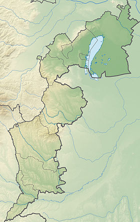
Géolocalisation sur la carte : Burgenland
| ||||
| modifier |
||||
Frankenau-Unterpullendorf est une commune autrichienne du district d'Oberpullendorf dans le Burgenland.


