Our website is made possible by displaying online advertisements to our visitors.
Please consider supporting us by disabling your ad blocker.
Bacup
| Bacup | ||
|---|---|---|
 | ||
| Staat: | ||
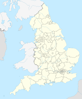
| Koordinaten | 53° 42′ N, 2° 12′ W | |
| OS National Grid | SD 86828 23009 | |
|
| ||
| Traditionelle Grafschaft | Lancashire | |
| Einwohner | 13.323 (Stand: 2011)[1] | |
| Fläche | 3,507.5 km² (1,35 mi²) [1] | |
| Bevölkerungsdichte: | 3798 Einw. je km² | |
| Verwaltung | ||
| Post town | BACUP | |
| Postleitzahlenabschnitt | OL13 | |
| Vorwahl | 01706 | |
| Landesteil | England | |
| Region | North West England | |
| Shire county | Lancashire | |
| Zeremonielle Grafschaft | Lancashire | |
| District | Rossendale | |
| ONS-Code | E35000666 | |
| Britisches Parlament | Rossendale and Darwen | |
Bacup ist eine englische Kleinstadt im Borough of Rossendale in der Grafschaft Lancashire, die beim Zensus 2011 etwas mehr als 13.000 Einwohner hatte.[1]
Previous Page Next Page


